Quick Tips for using the map:
- Click on the layers icon (
 ) to choose map or satellite view. Check the box next to Precipitation (), Streams (), Agricultural Streams (), or Lakes () to view the data that volunteers have reported. All maps may be viewed individually or jointly. To hide the view of a map, un-check the box that corresponds to that particular map.
- Hover over a watershed to get the average precipitation from all volunteers in that watershed.
- Type in an address in the “search for address” box to quickly find a particular location.
- Change the date range of precipitation you wish to view by clicking on the dates in the top right corner.
- Use the + and – buttons or scroll within the map to zoom in and out.
Precipitation Monitor volunteers measure and record the water equivalent of snow.
What is a Watershed?
A watershed is an area of land where water flows or drains to the same point. Rainfall and snow melt that isn’t absorbed into the soil (runoff) eventually finds its way to a river, lake or ocean. Our volunteers faithfully track this precipitation, and you can find the results of their efforts on the water data map, as well as data that Lake Monitor and Stream Quality Monitor volunteers record. When water runs off of rooftops, driveways and roads (impervious surfaces), problems like flooding, soil erosion and polluted water may occur. We all need to work together to prevent these problems.
What’s Your Watershed Address?
In addition to your postal address, you have a watershed address. Enter your home or work address on the watershed map below to find your watershed address!
To learn more about your watershed, click on the watershed name below the map.
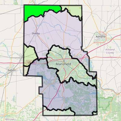
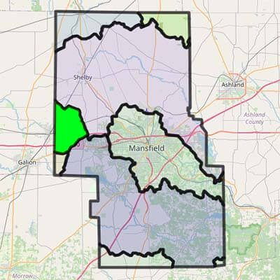
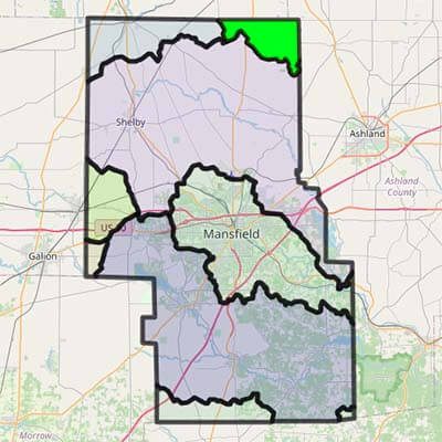
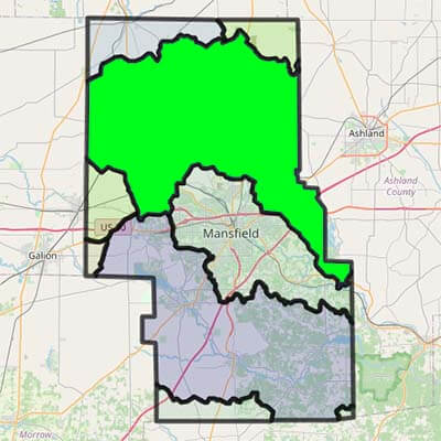
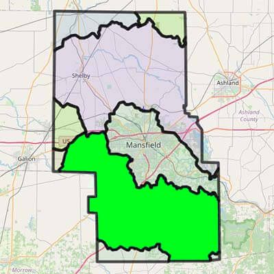
Eight Unique Watersheds Originate in Richland County
Click on a watershed to find out more about that watershed’s livestock, impervious land, land use, soil types and rivers.
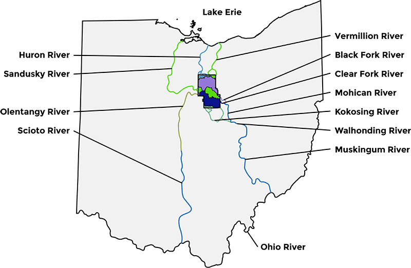
Three Watersheds Flow to Lake Erie
HURON
Begins in northern Richland County near Plymouth → Lake Erie at Huron
SANDUSKY
Begins on western side of Richland County → Bucyrus → Lake Erie at Sandusky Bay
UPPER VERMILLION
Starts in the northeastern corner of Richland County → Lake Erie at Vermillion
Five Watersheds Flow to the Ohio River
ROCKY FORK
Begins near Mansfield/Ontario → goes through Mansfield → joins Black Fork River East of Lucas
BLACK FORK
Begins near Mansfield/Ontario → goes through Shelby → Charles Mill Lake → joins Rocky Fork River east of Lucas below Charles Mill Lake
CLEAR FORK
Begins in Richland and Morrow Counties → Clear Fork Reservoir → goes through Lexington, Bellville, Butler → joins Black Fork near Loudonville and becomes Mohican River → Walhonding River → Muskingum River → Ohio River → Mississippi River → Gulf of Mexico
UPPER KOKOSING
Begins in southern Richland County, west of Butler → Kokosing Lake → Walhonding River → Muskingum River → Ohio River → Mississippi River → Gulf of Mexico
UPPER OLENTANGY
Begins in Sandusky Township → Delaware Reservoir → Olentangy River → Scioto River → Ohio River → Mississippi River → Gulf of Mexico
Legal Authority for Waters of the State
(Section 1501.30) “Waters of the state” includes all streams, lakes, ponds, marshes, watercourses, waterways, wells, springs, irrigation systems, drainage systems, and other bodies or accumulations of water, surface and underground, natural or artificial, regardless of the depth of the strata in which underground water is located, that are situated wholly or partly within or border upon this state or are within its jurisdiction.
U.S. Army Corps of Engineers
Need to Print a Watershed Map?

 ) to choose map or satellite view. Check the box next to Precipitation (
 ), Streams (
 ), Agricultural Streams (
 ), or Lakes (
 ) to view the data that volunteers have reported. All maps may be viewed individually or jointly. To hide the view of a map, un-check the box that corresponds to that particular map.