Skip to content
Residential
Agriculture
Stormwater & Drainage
Get Involved
About Us
News
Back to Reminisce
Category:
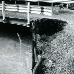
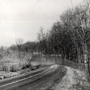
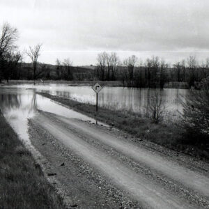
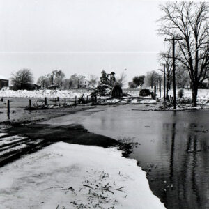
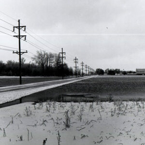
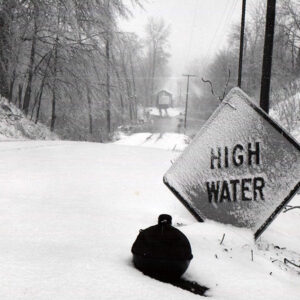
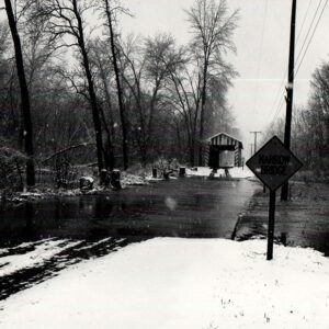
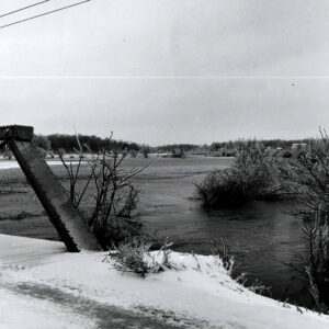
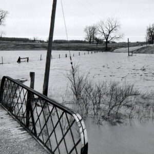
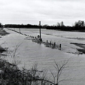
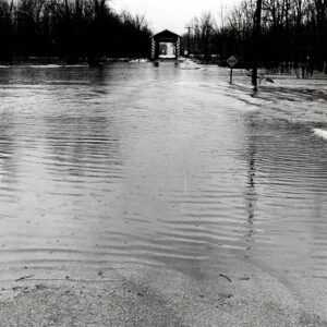
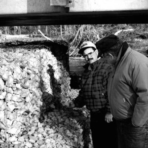
Land Issues
Posts pagination
Previous
1
…
5
6
7
…
9
Next
Close this module
Sign up for updates!
Get news from Richland Soil and Water Conservation District.
Email
Email
First Name
First Name
Last Name
Last Name
Phone
Phone
Street
Street
City
City
State/Province
State/Province
Postal Code
Postal Code
Submit