Back to Land Issues

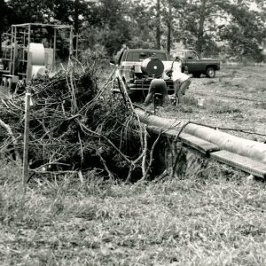
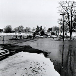
BlackFork Flooidng SR 13 and SR 96 - 02/24/1975

February 24, 1975
Black Fork flooding
State Route 13 and State Route 96
Photo ID#: L74

02_24_1975_BlackFork_Flooidng_SR_13_and_SR_96_website-2614

Description

February 24, 1975

Black Fork flooding

State Route 13 and State Route 96

Photo ID#: L74

Category

Submit Info

If you have any more information to add about this photo, please tell us by filling out the form below. Thank You!
More Land Issues Photos

04_29_1967_Construction_of_cess_pool_leach_bed__SR13_S._of_Bellville_owner_Hamilton_and_contractor_Werner__photo_by_R._Mills__website-2547
01_25_1969_Looking_West_off_SR13_South_of_Mansfield._Urban_erosion_caused_by_removal_of_vegetation_on_sloping_land__3_website-2543
01_01_2003_Steel_Road_USDA_Emergency_Flood_Repair__2_website-2597
05_09_1967_Black_Fork_Flood_looking_South_Mansfiled_Adario_Road_website-2625
07-15-1975 Graded and grassed roadside berm to control erosion 6 mi. W of Mansfield off Chambers Rd to Tappan warehouse #1-website
09-14-1979 Possum Run Road Nursery Equipment morning after 5.5 rainfall-website