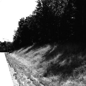
03_10_1966_Black_Fork_looking_South_Plymouth_Springmill_Road_website-2623
Description
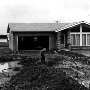
March 10, 1966
Black Fork looking south to Plymouth Springmill Road
Photo ID#: L82
Category
Submit Info
If you have any more information to add about this photo, please tell us by filling out the form below. Thank You!