Larry_Milliron_SCS_Soil_Scientist._Soil_Survery_Mapping._West_of_Olivesburg_2_miles_website-2827
Description
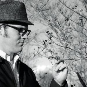
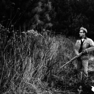
Larry Milliron, SCS Soil Scientist, Soil Survey Mapping
West of Olivesburg (2 miles)
Photo ID#: P104
Category
Submit Info
If you have any more information to add about this photo, please tell us by filling out the form below. Thank You!