Back to Aerial

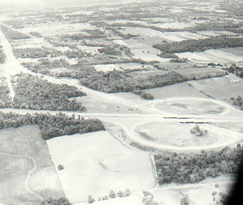
Rt. 30 - 07/25/1965

July 25, 1965
Route 30
Photo ID#: AE165

07_25_1965_Rt._30_website-1609

Description

July 25, 1965

Route 30

Photo ID#: AE165

Category

Submit Info

If you have any more information to add about this photo, please tell us by filling out the form below. Thank You!

More Aerial Photos

09_05_1966_Cleark_Fork_Reservoir_looking_S.W._website-1656
07_25_1965_Charles_Mill_Reservoir_looking_N.E._website-387
07_04_1964_Shelby_OH_Reservoir_website-1665
06_02_1964_Dale_Cutnaw_Farm_in_Jefferson_Twp_website-1578
06_29_1966_New_Lantz_Mills_plant_on_S.R._13_Website-363
06_28_1962_Marsh_Run_2_Looking_southwest_upstream_Vernon_twp__Crawford_Cty._Horizontal_road_is_S.R.__39._Baker_Rd_in_lower_left_corner_website-1625