Back to Watersheds

Marsh Run 2 east of SR 610001-2331 - 06/28/1962

June 28, 1962
Marsh Run 2 East of State Route 61
Photo ID#: W9

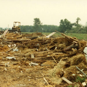
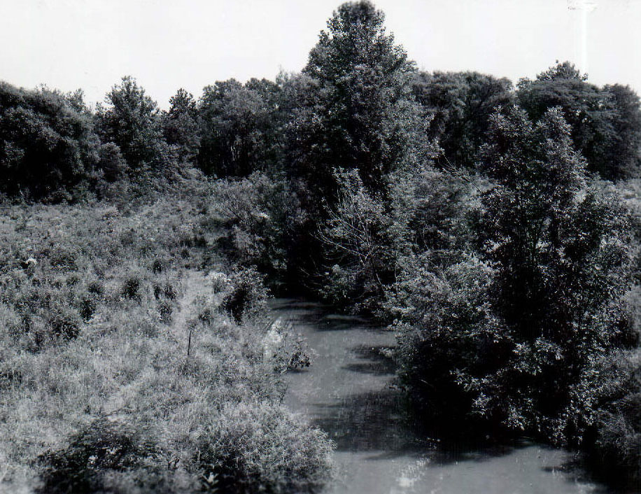
06_28_1962_Marsh_Run_2_east_of_SR_610001-2331

Description

June 28, 1962

Marsh Run 2 East of State Route 61

Photo ID#: W9

Category

Submit Info

If you have any more information to add about this photo, please tell us by filling out the form below. Thank You!

More Watersheds Photos

06-28-1962 Taken looking southwest through the Best Baker Farm. Road in upper part of picture is London West Rd.-website
1990 Cedar Fork Tornado clean-up #04-website
06-15-1966 Aerial view of the 73 acre irrigation reservoir in the Marsh Run Project used for irrigating vegetable crops-website
06_28_1962_View_of_main_channel_of_Marsh_Run__2_Watershed_looking_west_from_bridge_on_Kuhn_Rd_near_the_Roscoe_Major_farm_website-5128
00-00-1990 Tornado. Cedar Fork. Mowery barn destroyed#7-Website
06_28_1962_View_of_main_channel_of_Marsh_Run__2_Watershed_looking_west_from_bridge_on_Kuhn_Rd_near_the_Roscoe_Major_farm_website5-5437