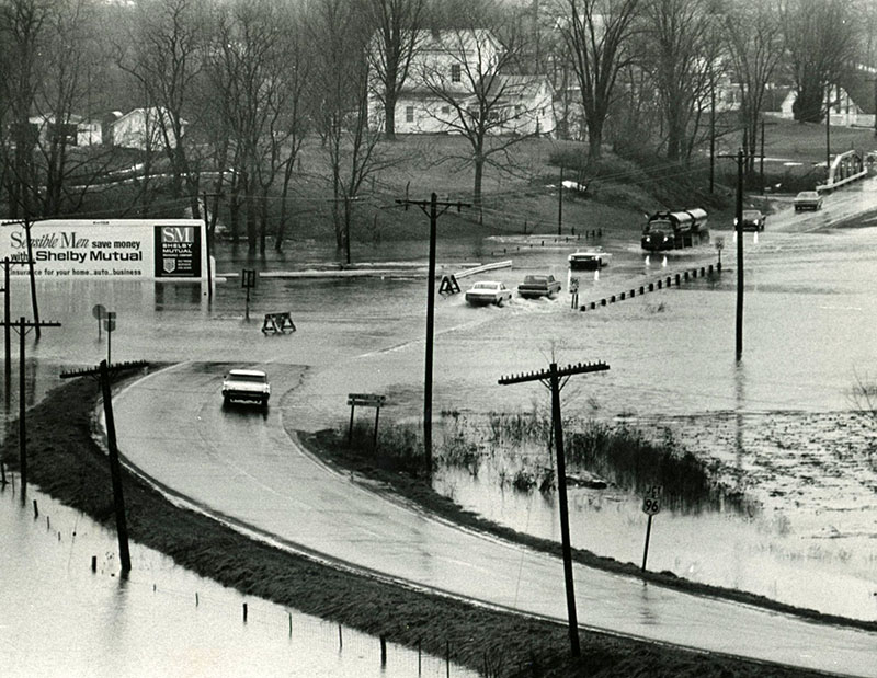
01-30-1968 High waters at State Routes 13 & 96 north of Mansfield, News Journal Photo by Marguerite Miller-website
Category
Submit Info
If you have any more information to add about this photo, please tell us by filling out the form below. Thank You!