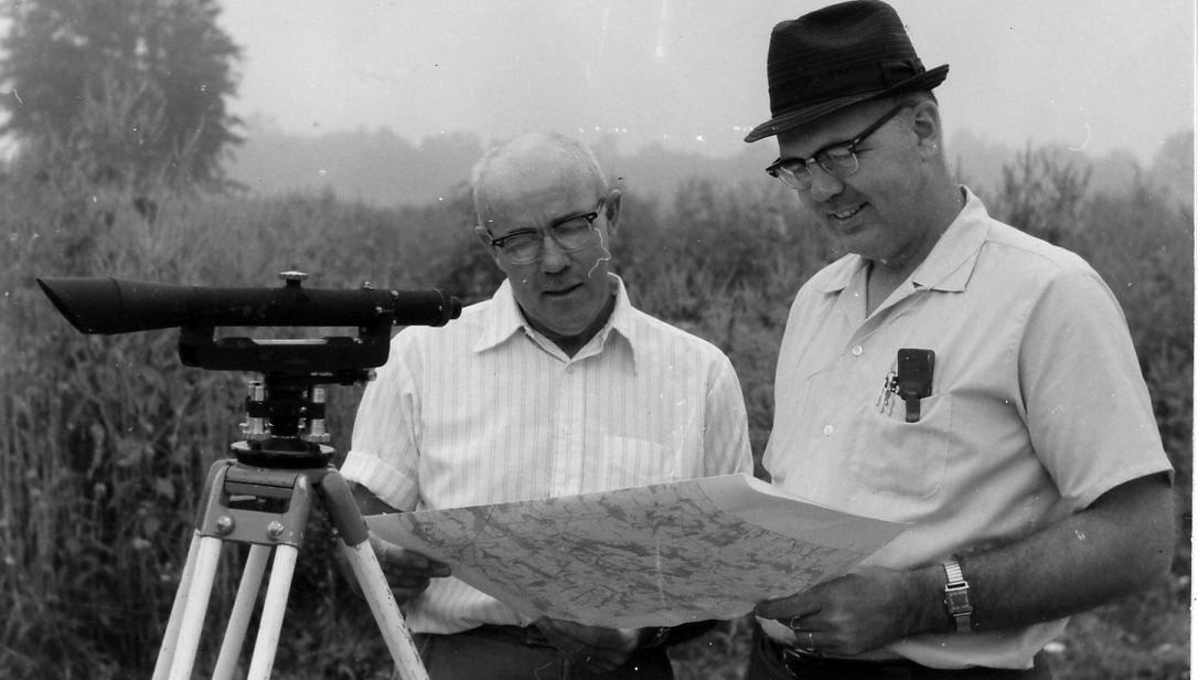
Two men standing by surveying instrument look at map .Photo by Robert Mills
Category
Submit Info
If you have any more information to add about this photo, please tell us by filling out the form below. Thank You!
Two men standing by surveying instrument look at map .Photo by Robert Mills
If you have any more information to add about this photo, please tell us by filling out the form below. Thank You!