Note: Impervious surface permit icons, land use icons, and livestock icons do not necessarily indicate exact locations. They are approximate locations on the same land parcel.
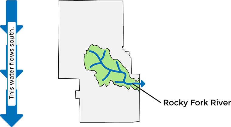
ROCKY FORK Begins near Mansfield/Ontario → goes through Mansfield → joins Black Fork River East of Lucas
Soil Type in the Rocky Fork Watershed
- Shoals-Chili-Wheeling
- Fitchville-Luray-Bennington
- Pewamo-Bennington
- Rittman-Wadsworth
- Bennington-Cardington
- Wooster-Loudonville
- Lordstown-Loudonville
- Wooster-Canfield
Impervious Areas
Total Impervious Areas Created in the Rocky Fork Watershed* 4,357,150 sq. ft.
Residential Permits
(Homes, Pole Barns, Additions, etc.)
| Permits | Year | |
|---|---|---|
| Least Area Created (Above 0) | 1,680 sq. ft. | 2000 |
| Most Area Created | 264,353 sq. ft. | 2003 |
Exemptions**
(Less than 2,000 square feet created)
| Permits | Year | |
|---|---|---|
| Least Area Created (Above 0) | 6,390 sq. ft. | 2008 |
| Most Area Created | 152,605 sq. ft. | 2025 |
Commercial Permits
| Permits | Year | |
|---|---|---|
| Least Area Created (Above 0) | 5,255 sq. ft. | 2025 |
| Most Area Created | 333,610 sq. ft. | 2024 |
*This figure does not include impervious areas from prior to 2000
**Agriculture is included in permit exemptions