Back to Watersheds

View of the main channel of Marsh Run 2 watershed looking West of SR 61 2 miles N of Shelby - 06/28/1962

June 28, 1962
View of the main channel of Marsh Run 2
Looking West of State Route 61, 2 miles North of Shelby
Photo ID#: W81

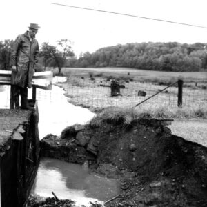
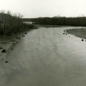
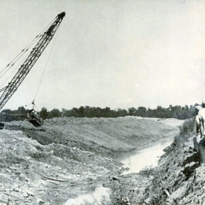
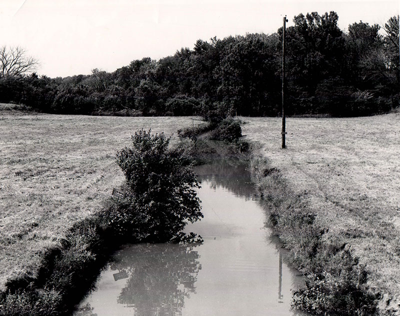
06_28_1962_View_of_the_main_channel_of_Marsh_Run__2_watershed_looking_West_of_SR_61___2_miles_N_of_Shelby_website-4803

Description

June 28, 1962

View of the main channel of Marsh Run 2

Looking West of State Route 61, 2 miles North of Shelby

Photo ID#: W81

Category

Submit Info

If you have any more information to add about this photo, please tell us by filling out the form below. Thank You!

More Watersheds Photos

09-14-1967 Celeryville Marsh Run Project 1-website
07_28_1976_Black_Fork_Marsh_Run_Project_Carl_Smith_Maurice_Cook_website-4739
05_19_1969_Watershed_Problems_Mengert_Road_and_Switzer_Road_website-4807
00_00_0000_Looking_South_from_Rt.71_bridge_on_west_side_old_channel_website-5116
06_28_1962_Smiley_Ave_west.Crawford.Property_owners_Bryan_Crum._R.K._Waines_website-4795
08_26_1964_Celeryville_Watershed_Tour_website-4783