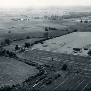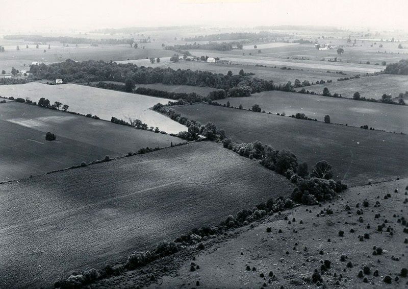
06-28-1962 Taken looking southwest through the Best Baker Farm. Road in upper part of picture is London West Rd.-website
Category
Submit Info
If you have any more information to add about this photo, please tell us by filling out the form below. Thank You!