Back to Land Issues

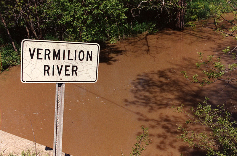
Muddy Vermillion River

Muddy Vermillion River
Photo ID#: L10

00_00_0000_Muddy_Vermillion_River_website-2538

Description

Muddy Vermillion River

Photo ID#: L10

Category

Submit Info

If you have any more information to add about this photo, please tell us by filling out the form below. Thank You!

More Land Issues Photos

01-01-2003 Steel Road USDA Emergency Flood Repair #1-website
10_22_1979_Poor_cover_on_roadbank_resulting_in_erosion._Noble_Rd__butler_Twnshp_Richland_Co_website-5330
01-25-1969 Looking West off SR13 South of Mansfield. Urban erosion caused by removal of vegetation on sloping land #3-website
01_22_1959_Sandusky_River_bridge_looking_S._from_Mt.Zion_Church_Hill_Sec_19_20_Bucyrus_Twp_website-2612
04_29_1967_Construction_of_cess_pool_leach_bed__SR13_S._of_Bellville_owner_Hamilton_and_contractor_Werner__photo_by_R._Mills__website-2547
03-28-1967 Spring Flood Black Fork Creek Geisinger Road W. of SR 13-website