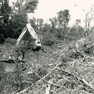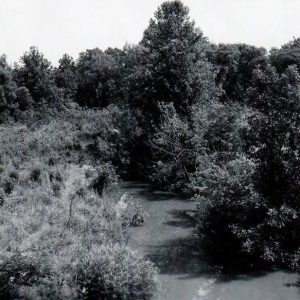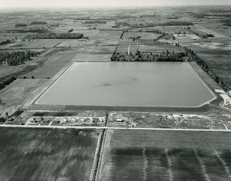
06-15-1966 Aerial view of the 73 acre irrigation reservoir in the Marsh Run Project used for irrigating vegetable crops-website
Category
Submit Info
If you have any more information to add about this photo, please tell us by filling out the form below. Thank You!