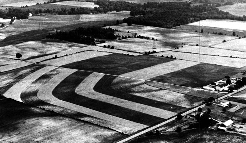
Contour strips conservation practice
Submit Info
If you have any more information to add about this photo, please tell us by filling out the form below. Thank You!
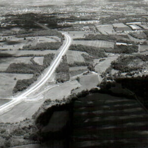
Contour strips conservation practice
If you have any more information to add about this photo, please tell us by filling out the form below. Thank You!